

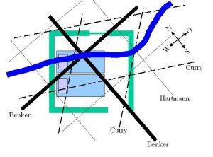
Dowsing Kit: Everything You Need for Dowsing
Author und Editor: Dr. Andreas Kokott (About the Author)
Tips for Building Your Dowsing Rod Kit
Dowsing rods are sensitive tools. This is especially true for one-hand rods. Pendulums can also easily get lost. Therefore, it is a good idea to keep all equipment protected in a sturdy bag or case. I use a flat case that is easy to carry and transport.
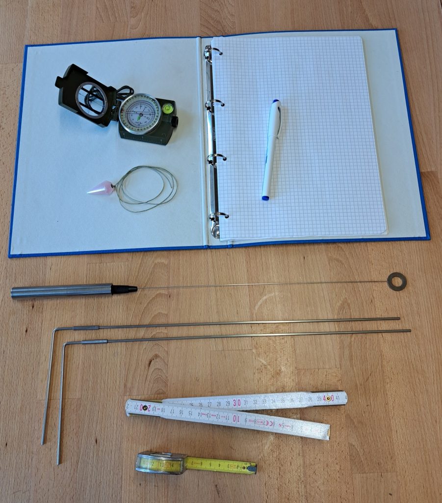
Ideally, the basic equipment for a dowsing kit includes:
- An L-shaped rod: Anyone who can work with a Y-rod can also use this type of rod.
- A one-hand rod: Alternatively, a pendulum can be used, or both tools can be carried. Many users have both available because they are suitable for different tasks.
- A compass: A compass is needed when searching for grid lines or when examining directions and orientations.
- Pen and Ring Binder (or notepad): These can be used to make drawings and sketches. This helps to document findings and improves understanding during an analysis.
- Measuring tape (better 5 or 10 m) or folding ruler: This allows distances to be measured. It can be helpful when identifying and assigning grid lines.
Additional marking materials for field work:
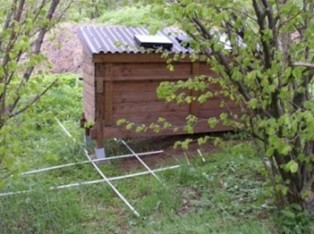
I use empty tubes that are normally designed for cable installation. They can be connected together and are easy to transport. As shown in the photo, they can be used to mark grid lines. Different colored tubes or rods can also be used to distinguish between different grid lines. Using different colors makes it easier to identify and document the various systems.
Colored cords, ribbons, or marking tape can be used to mark irregular lines, such as the course of water veins. They are easy to place and can follow curves in the terrain, making it easier to visualize and document their path.
Tip: Use Photos for Documentation and Analysis
I take photos of the marked areas during the investigation. Later, these photos can be edited to make grid lines and water veins visible by adding colored lines between the rods or cords. This makes it easier to document, review, and understand the results.
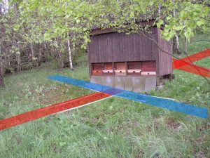
Photos are a useful way to preserve the situation at the location and allow further analysis at a later time.